Hamilton City Council
Also known as:
- Te kaunihera o Kirikiriroa
6 Artworks
Hamilton City Council Te kaunihera o Kirikiriroa is the territorial authority for the New Zealand city of Hamilton.
"The current city council was formed as part of the 1989 local government reorganisation, which added parts of Waikato and Waipā counties to the previous city area. The original Hamilton borough had an area of 752 ha (1,860 acres). It now covers 9,860 ha (24,400 acres), which includes 2,500 ha (6,200 acres) of Rototuna, Rotokauri and Peacocke added in 1989, and 430 ha (1,100 acres) of Temple View added on 1 July 2004." (wikipedia)
Hamilton is located on the banks of the Waikato River.
See also:

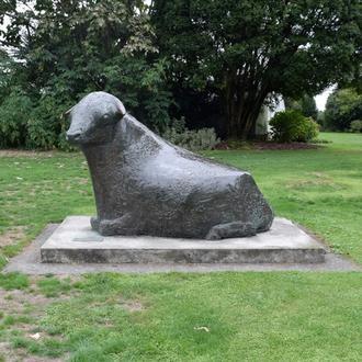
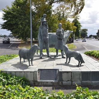
Margriet Windhausen, ‘The Farming Family’ (1990), Cnr Ulster and Victoria Streets, CBD, Kirikiriroa Hamilton
Image: Bronwyn Holloway-Smith, Public Art Heritage Aotearoa New Zealand, 2022
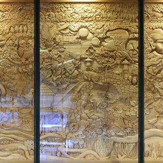
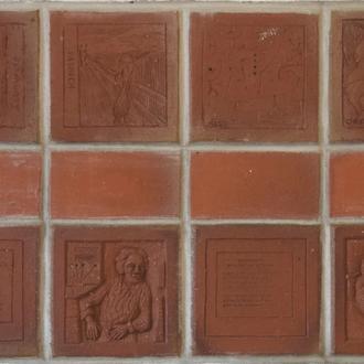
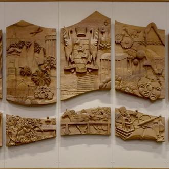
- Associated Artworks
![Untitled [Central Library Entrance Pillars]](/_next/image?url=https%3A%2F%2Fcdn.sanity.io%2Fimages%2Faem3610x%2Fproduction%2Ff2afdd554eaec0e9a95ee38f35565d598f5d9052-1080x420.jpg%3Frect%3D330%2C0%2C420%2C420%26w%3D330%26h%3D330%26fit%3Dclip&w=750&q=75)